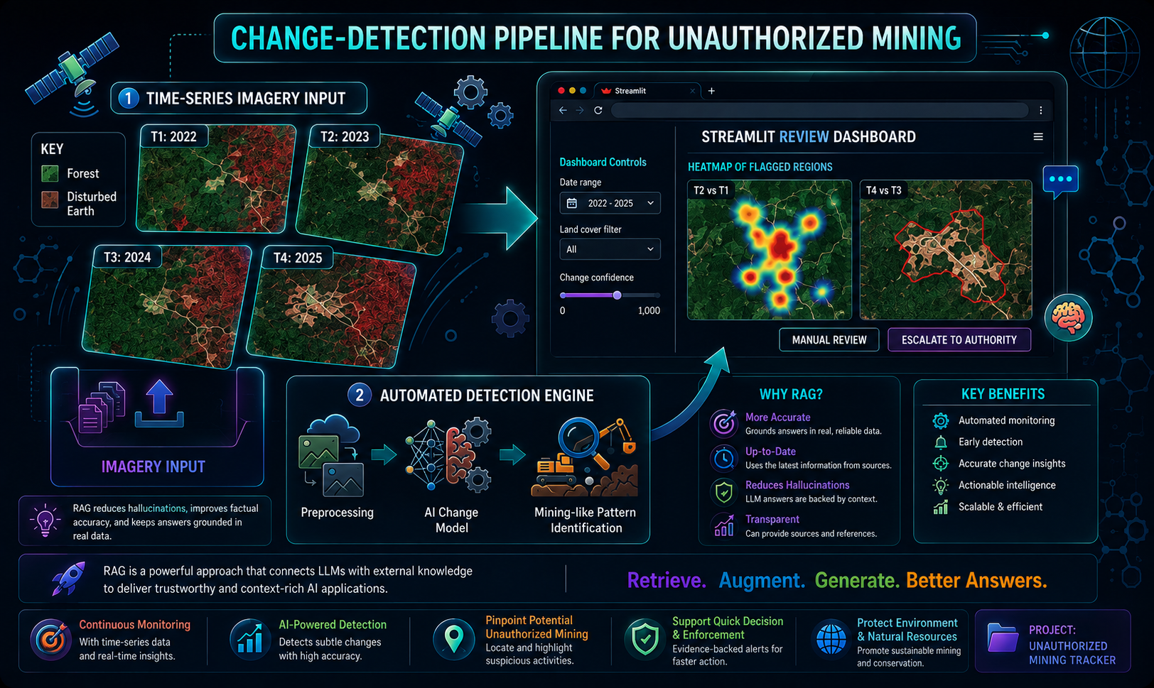
Objective: To develop an AI-powered system that accurately detects illegal land mining activities from satellite imagery using machine learning and deep learning techniques. Goal: To support environmental monitoring and regulatory authorities by providing automated, fast, and reliable detection of mining regions through remote sensing data. Research Gap: Traditional land mining detection methods rely on manual inspection and conventional image processing, which are time-consuming, less accurate, and not scalable for large geographic areas. Result: The proposed model successfully identified illegal mining areas with high accuracy, enabling efficient classification and analysis of satellite images for environmental monitoring. Future Scope: The system can be enhanced with real-time satellite data integration, GIS mapping, drone imagery, advanced transformer-based models, and cloud deployment for continuous large-scale mining surveillance.